Stop 11-Federal Defense Line on October 22
[Waypoint 39.016430, -94.523349]
Walk over to the historical marker located at the east end of the parking lot at 5951 Manchester Trafficway, Kansas City, MO 64130. After reviewing the marker, walk east along E 60th Street and step through the yellow gate. Continue walking east across the field until you are in line with the corner of the chain link fence to the north. Look east toward the Blue River.
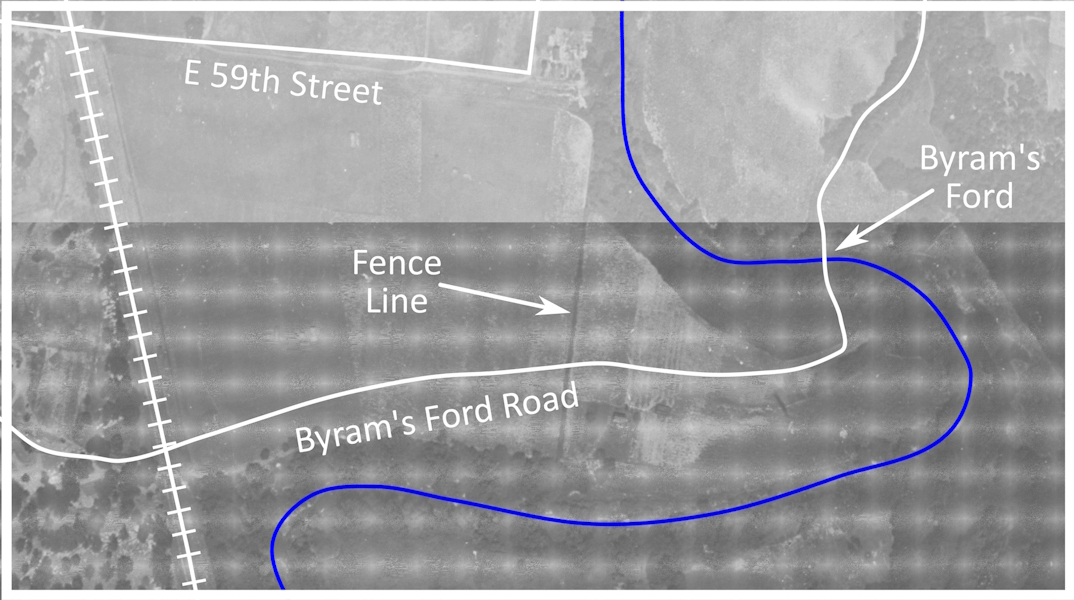
In 1864, running north/south in this location was a split rail fence marking the eastern boundary of a corn field (refer to the annotated aerial photo below). The Byram’s Ford Road came through near this location heading in an east/west direction. Picture yourself one of the soldiers in a skirmish line behind the fence. There were two mountain howitzers deployed astride the road, flanked by the skirmish line.

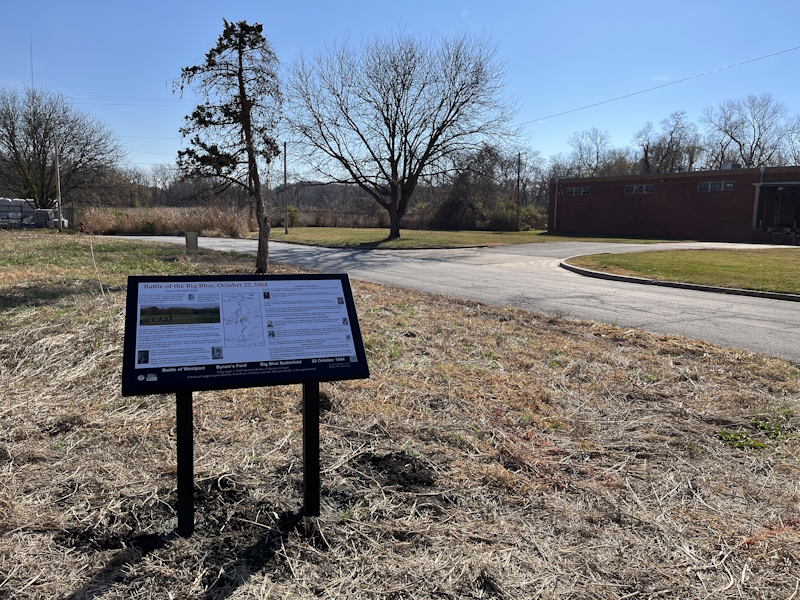
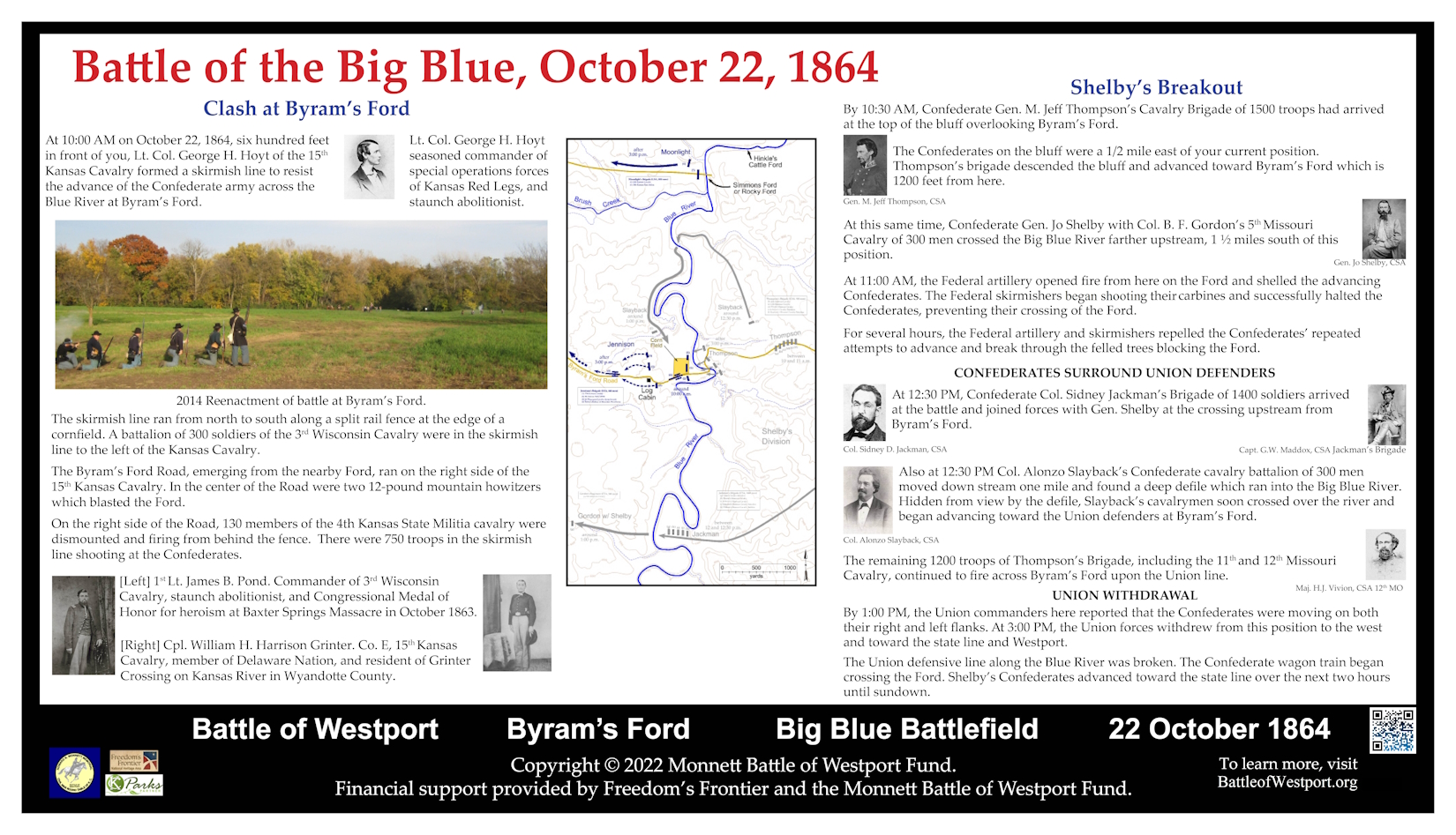
Historical Marker: Battle of the Big Blue, October 22, 1864

City of Kansas City Aerial Photograph of Big Blue Battlefield taken in 1922.

Battle of the Big Blue, October 22, 1864 historical marker panel.
