Stop 3-Price's Wagon Train
[Waypoint 39.019064 -94.520287]
Please note this is one of the areas on the tour where the trails are probably quite overgrown with brush.
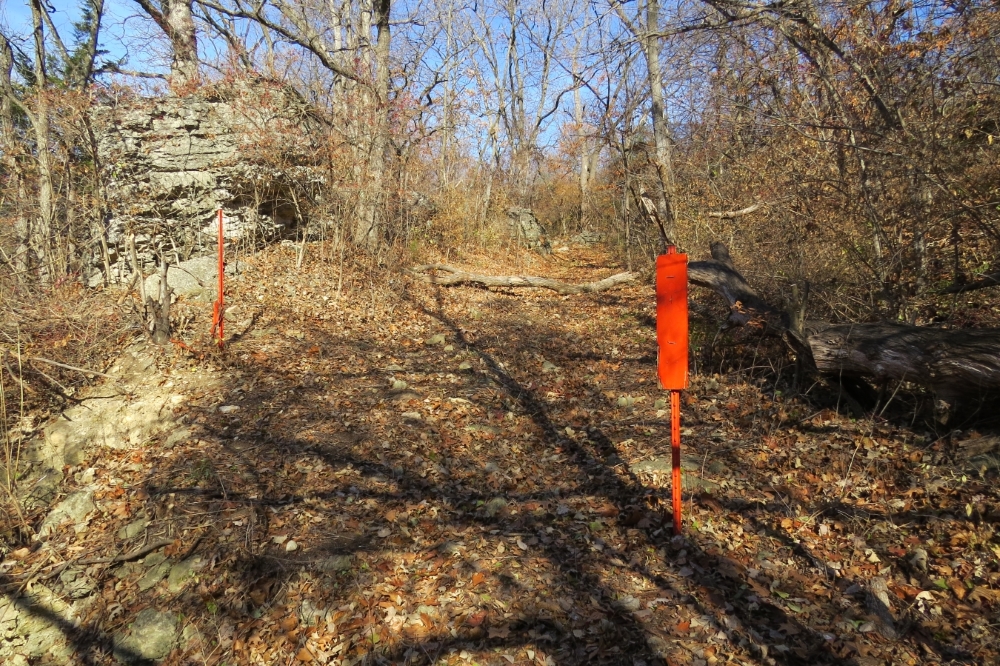
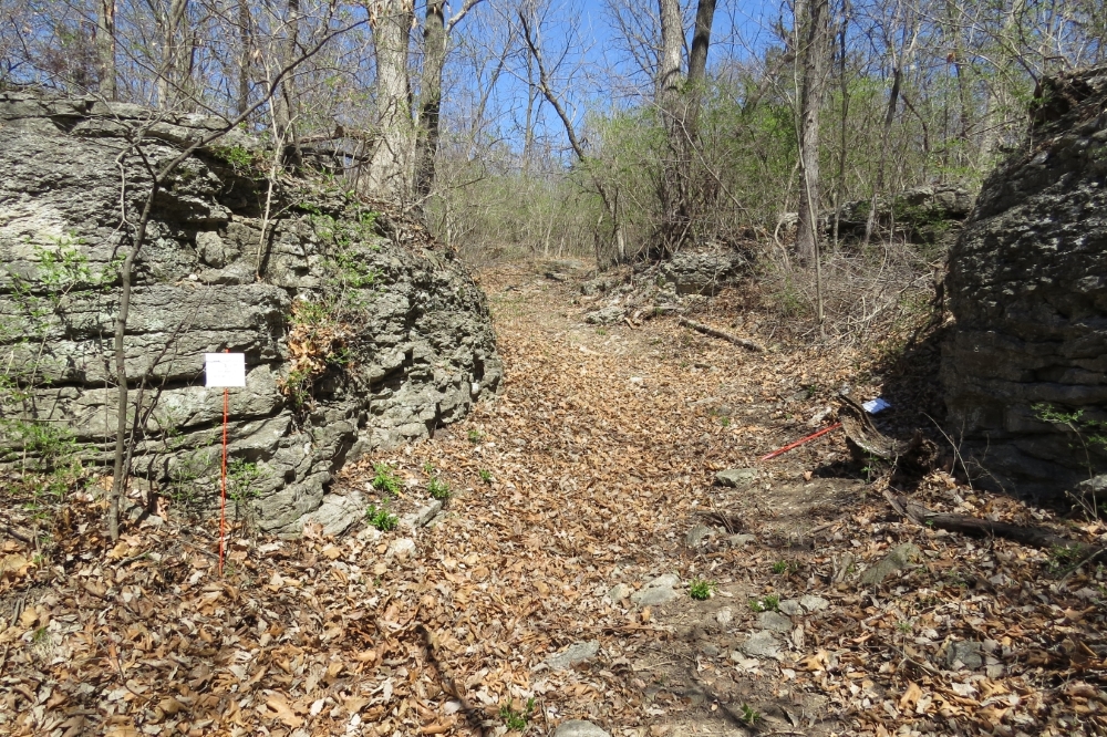
This tour stop is located just about 100 feet from Hardesty Avenue up the Historic Byram’s Ford Road. It’s a change in elevation of about 20 feet. From your car walk north on Hardesty Avenue for about 200 feet and cross to the east side of the street. You should be able to see an opening in the brush lining the road. The road itself is marked with a Historic Byram’s Ford Road sign. Future battlefield interpretation plans have marked this location for a set of stairs and a historical marker. If you look up into this opening, you should see a couple of posts painted orange marking the Historic Byram’s Ford Road. It’s a bit of a scramble but climb up to where those orange posts are. Then continue walking up the Historic Byram’s Ford Road about 100 feet until you come to the place where the road narrows because of two large outcroppings of limestone. Stop just after you get past this spot on the road.
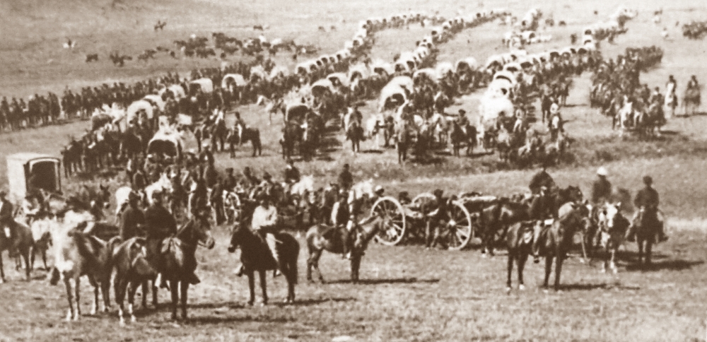
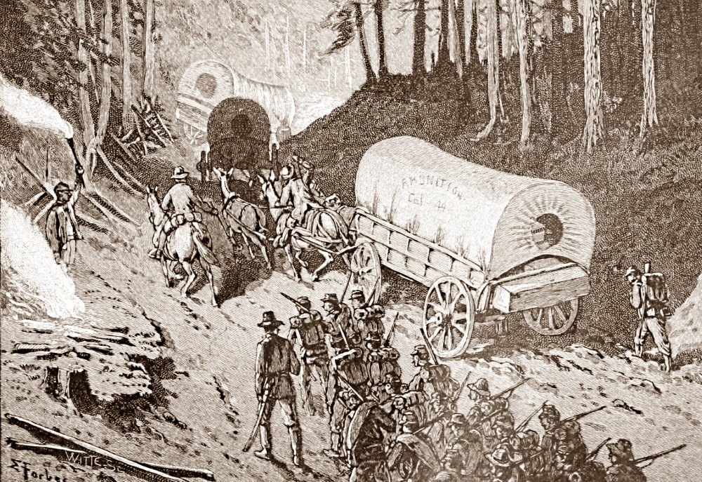
This stop is focused on the latter part of October 22. You are standing on the same road the Confederate wagon train travelled over on that day in 1864. Look up the old road and take note of the steep grade (it’s greater than 10%). Then look down and take a close look at how wide the road is when it passes through the two limestone outcroppings.
 |
 |
 |
 |
 |
