Stop 19-Marmaduke's Defense Line, Center
[Waypoint 39.015374, -94.529954]
The next tour stop is located at the top of Bloody Hill. This is an easy walk down the concrete Bloody Hill Trail. Cross the KC Water Services driveway and follow the concrete trail to its end. You will walk past Tour Stop 1 Battle of Westport on your way. Stop when you reach the historical marker at the end of the concrete trail. Take some time to read the historical marker.
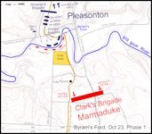
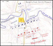
You are standing near the center of Marmaduke’s main defense line. Marmaduke deployed his line around 200 feet west of this location. This spot is about 100 feet higher in elevation than the Big Blue River at Byram’s Ford.
Turn to face looking east. You can see the meadow you were walking across earlier. Marmaduke’s line extended about 0.25 miles or so to the right (south) and about 0.5 miles to the left (north) along this ridge. Marmaduke deployed one artillery battery at this location and the other about 300 yards to the south. The vegetation here was an open woodland with scat-tered, large oak trees.
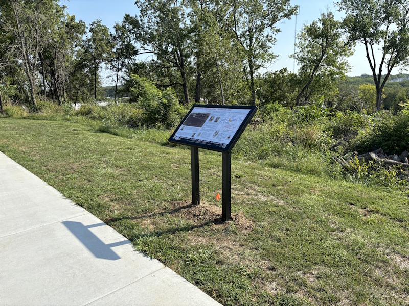
Marmaduke’s Defense Line, October 23, 1864 Historical Marker.
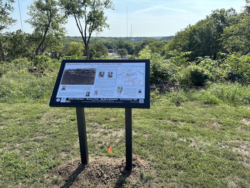
Marmaduke’s Defense Line, October 23, 1864 Historical Marker.
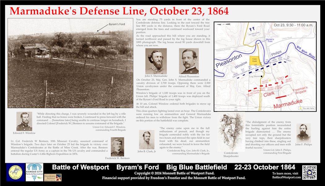
Marmaduke’s Defense Line, October 23, 1864 Historical Marker panel.
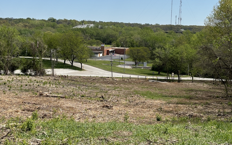
Looking east toward Blue River from the top of Bloody Hill.
 |
 |
Click on thumbnail to load high resolution version of map.
Back: Stop 18-Pratt’s Artillery
Next: Stop 20-Byram's Ford Road
