Stop 17-Philips’s Ravine
[Waypoint 39.01491, -94.52865]
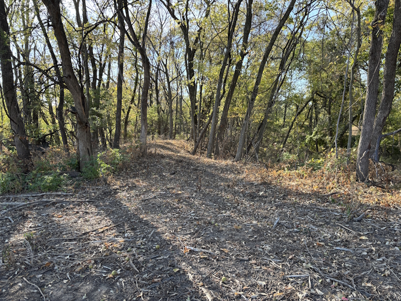
Now, walk south 100 yards or so toward the tree lined ravine. Walk onto what appears to be a roadbed crossing the ravine and stop. This is a modern day, earthen dam built to create a small pond which was part of a golf course. KC Parks installed a culvert to better control drainage off the hill.
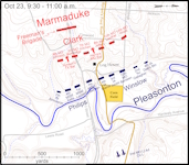
You are now standing in the middle of the ravine Philips’s Brigade used for cover as they attacked up Bloody Hill. In this location, Manchester Trafficway approximates the route of the Historic Byram’s Ford Road as it passed through the rock ledge. But back in 1864 the Byram’s Ford Road passage through the rock outcroppings was much narrower than it is now. The narrow passage made it difficult for Philips to assault the Confederate positions.

Looking south at the path into Philips’s Ravine.

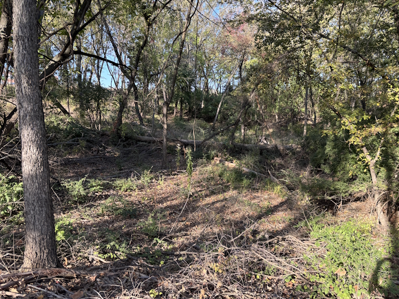
Looking west into Philips’s Ravine.

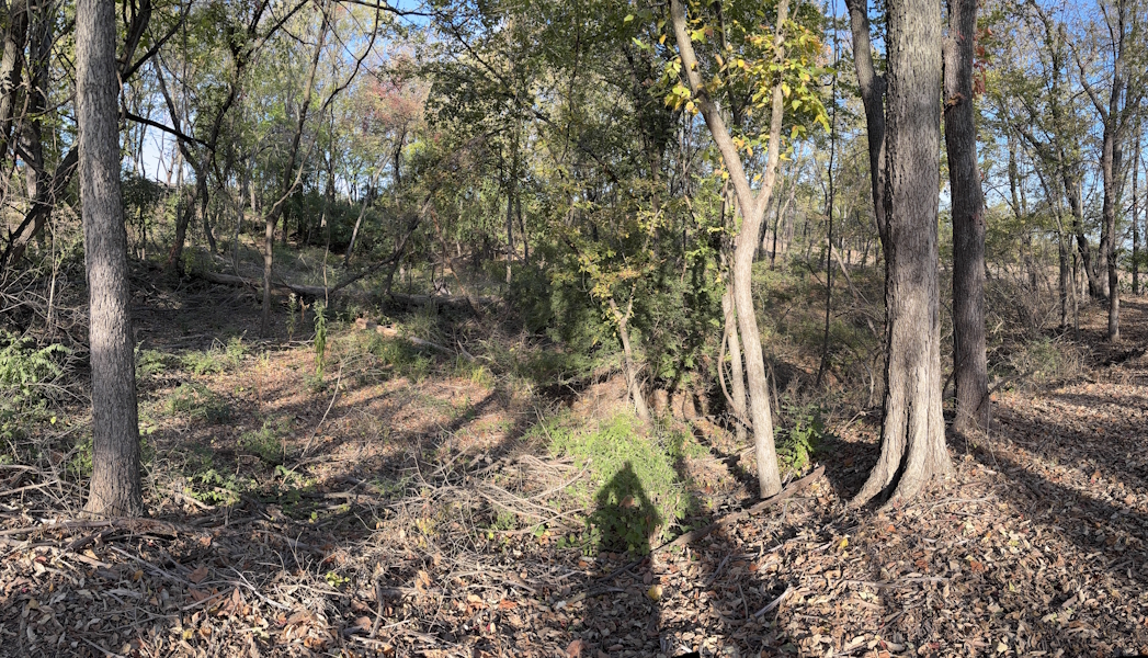
Looking northwest into Philip’s Ravine.
 |
Click on thumbnail to load high resolution version of map.
Back: Stop 16-Log House
Next: Stop 18-Pratt’s Artillery
