Stop 18-Pratt’s Artillery
[Waypoint 39.013571, -94.52985]
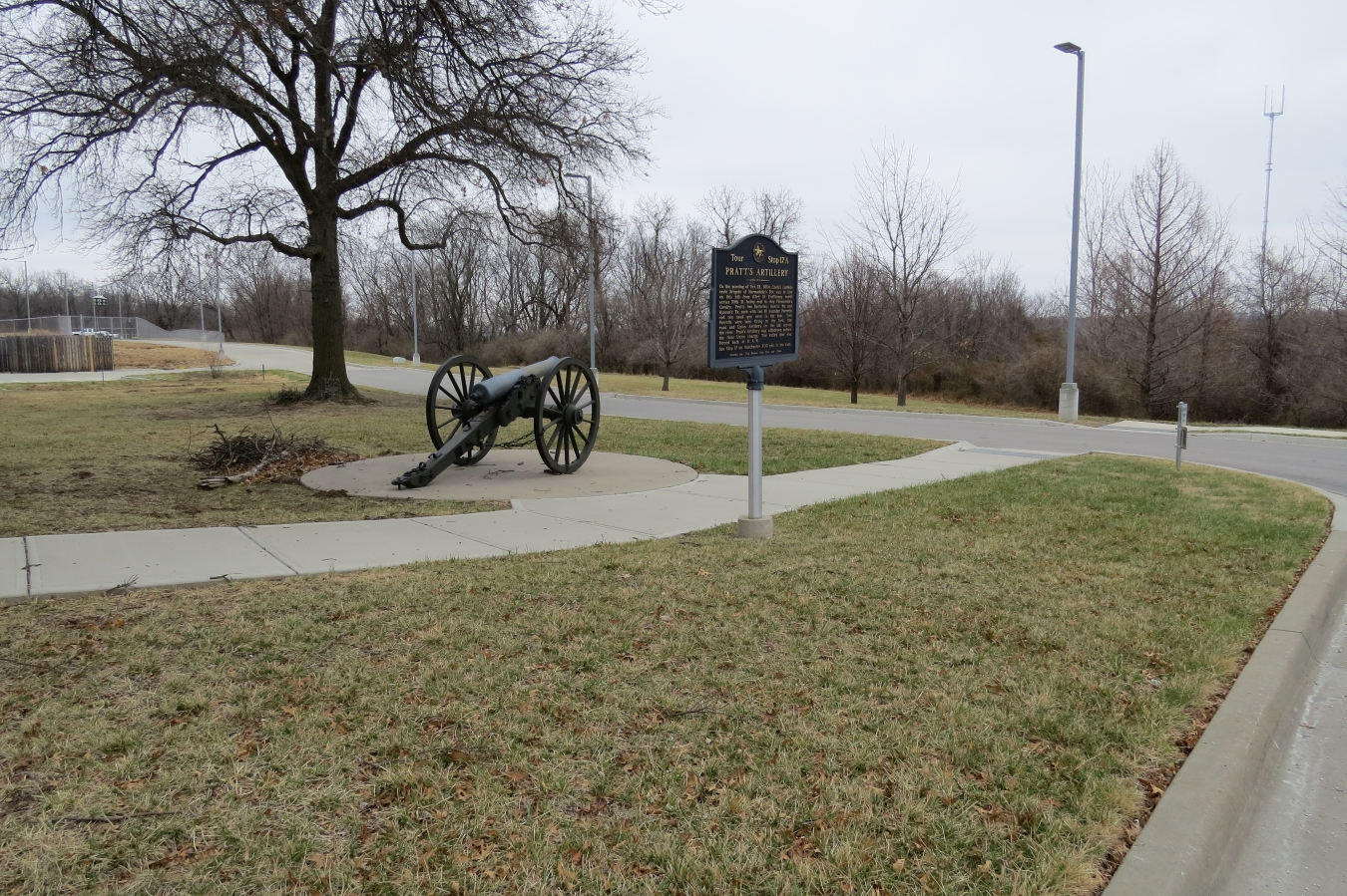
Continue across the berm in Philips’s Ravine and then make your way up the hill toward the brick building housing the Kansas City Water Department. As you get near the top of the hill, you should notice the artillery piece located near the southeast corner of the building. That’s the next tour stop. If you prefer, you could return to your car and drive back to the parking lot of the Kansas City Water Services Department.
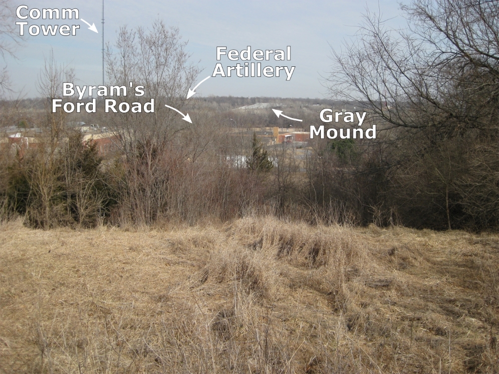
When you reach the artillery piece, take some time to read the marker’s inscription. Then cross over the paved road to the east and walk into the grassy area and look east towards Byram’s Ford. Depending on the time of year, the trees may obscure the view. If the leaves are still on the trees, you may not be able to see over toward Byram’s Ford and the bluffs east of Hardesty Avenue. Use the gray mound of gravel pit tailings as a point of reference. Directly in front–actually several hundred yards–of that gray mound on your line of sight is Byram’s Ford. To the left (north) is the Federal position at the start of October 23.

Pratt's Artillery Historical Marker.

Looking east from tour stop toward Byram’s Ford.
 |
 |
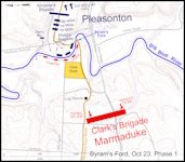
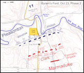
Click on thumbnail to load high resolution version of map.
