Stop 16-Log House
[Waypoint 39.015380, -94.529229]
Walk around the gate and up the hill toward the northwest. You should see a historical marker about 100 yards in the distance. The historical marker describes the significance of the log house during the battle.
There was a log house located in this area, and it was used for cover by both sides during the battle on October 23, 1864. Up on the top of the hill, the Confederates were fending off the attack by dismounted Federal cavalry.
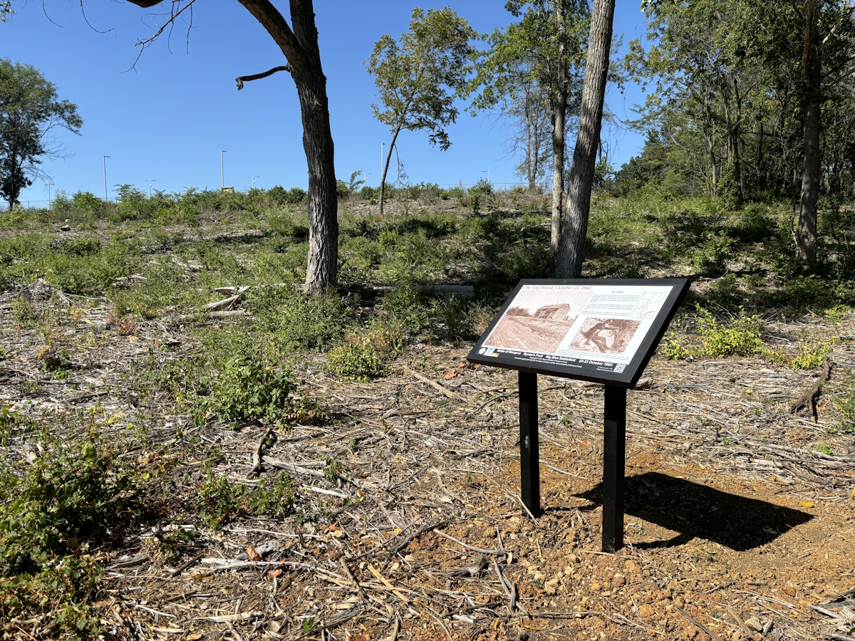
The Log House Historical Marker.
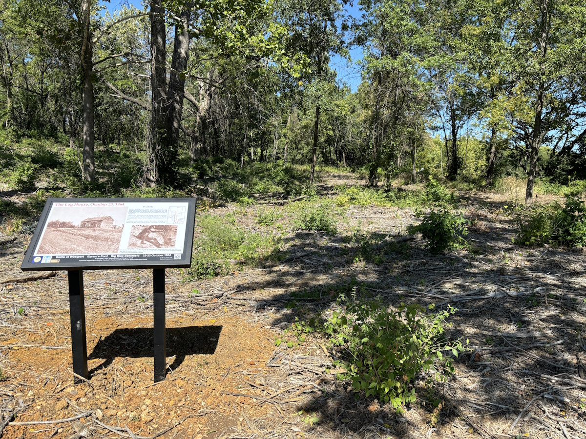
The Log House Historical Marker.
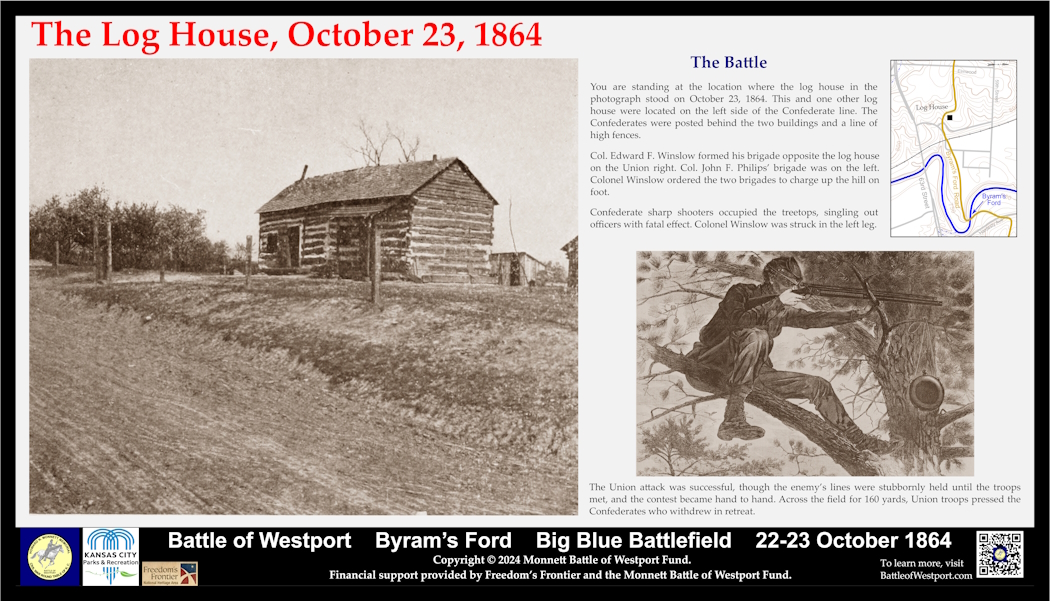
The Log House Historical Marker panel.
 |
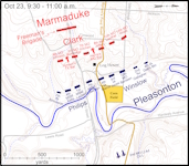 |
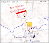
Click on thumbnail to load high resolution version of map.
