Stop 20-Byram's Ford Road
[Waypoint 39.015831, -94.532585]
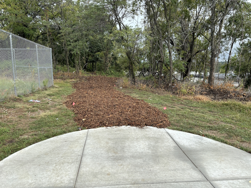
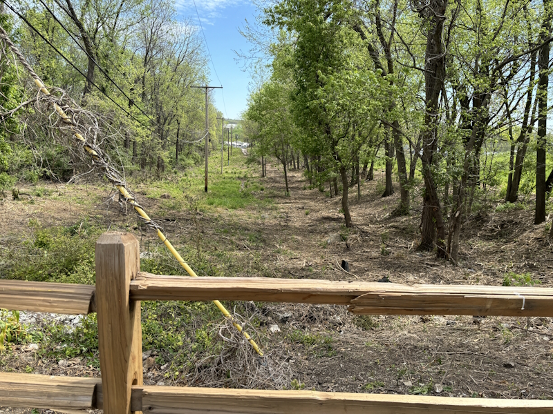
Consider this an optional stop on the tour. It’s about a 400-yard walk following the approximate route of the Byram’s Ford Road. Follow the wood chip path to the north. Leave this path (it curves around to the Log House Marker) and continue heading north until you get to the power line. Then head west along the power line until you reach the street, Elmwood Avenue, and another yellow gate. This traverses uneven ground with lots of obstacles to avoid.
You are following the Byram’s Ford Road as it continued west on to Westport. About 1.25 miles west of here, the Harrisonville Road (present day Prospect Avenue) continued south, crossing the Big Blue River at Russell’s Ford on its way to Harrisonville, Missouri. When you reach Elmwood, your elevation is about 150 feet higher than the Big Blue River at Byram’s Ford.

Wood Chip trail leading away from Tour Stop 19.

View from tour stop looking east down power line.
Back: Stop 19-Marmaduke's Defense Line, Center
Next: Battle of Westport, October 23, 1864: A Walking Tour of the Battlefield South of Brush Creek in Kansas City
