Stop 5—Dee's Battalion Flanking Movement
[Waypoint 39.020733 -94.520883]
Please note this is one of the areas on the tour where the trails are probably quite overgrown with brush. There is also another Dee's Battalion stop (#8) on the tour that is accessible from a concrete trail.
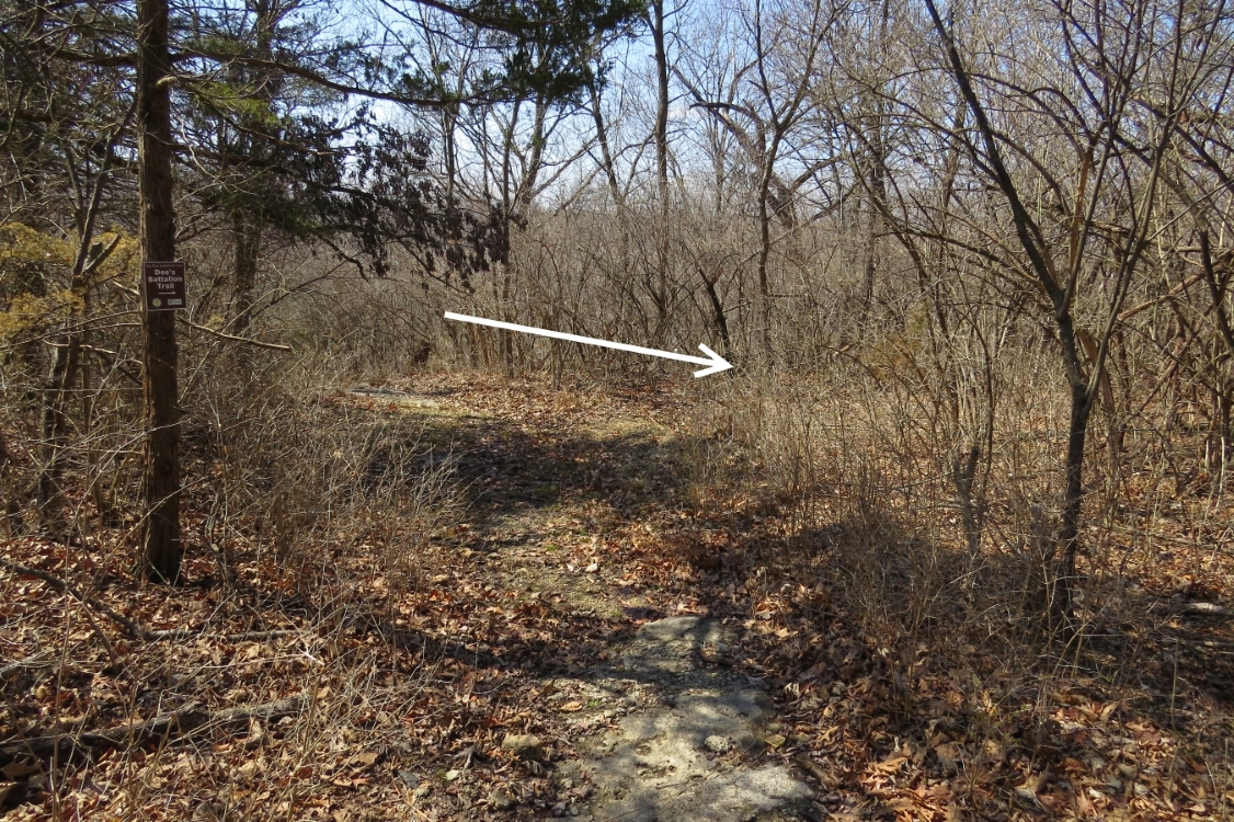
Now head back down the Historic Byram’s Ford Road toward Hardesty Avenue. About halfway down to Hardesty Avenue, you should a Dee’s Battalion Trail sign nailed to a cedar tree on the left side of the road. The trail begins to the right of the sign just before the Byram’s Ford Road begins its steep descent. Follow the trail north toward the ravine. The trail is marked with yellow paint on the trees
When you begin descending into the ravine, the trail will turn west. Stop before reaching Hardesty Avenue and turn to look to the north. One thing to keep in mind is at certain times of the year the ravine may be quite waterlogged, particularly after heavy rain. There is no actual need to step down into the ravine.
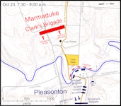
This stop is about events that happened on the morning of October 23. You’ve reached a “dead end” that didn’t exist in 1864. The construction of Hardesty Avenue in the 1960s has filled the ravine, and there is a culvert running under Hardesty Avenue. So, you will not be able to follow the ravine used by Dee’s Battalion all the way to the river. Tour Stop 8, Dee’s Battalion Crossed Here, takes you close to where the ravine reached the river.
The ravine extends back to the east about 1,000 yards from this location. As it is today, this was a tree-lined ravine and provided cover for the troopers in Dee’s Battalion as they rode their horses toward the river. Remember their objective was to get across the river and flank the Confederate skirmish line.


