Stop 12-Byram’s Ford, West Bank
[Waypoint 39.016928, -94.520392]
Now you will walk down to the west bank of the Big Blue River where Byram’s Ford crossed. It’s a relatively easy walk of about 300 yards. Only the last 100 yards or so might be considered moderate in difficulty. If the meadow has not been recently mown, the vegetation can make walking to the ford difficult, and it can be muddy if there have been recent rains.
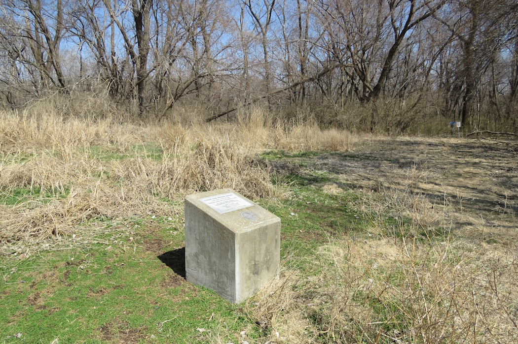
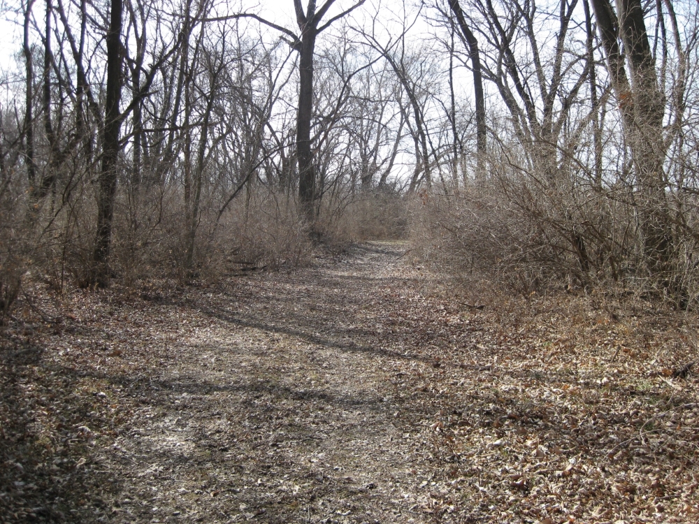
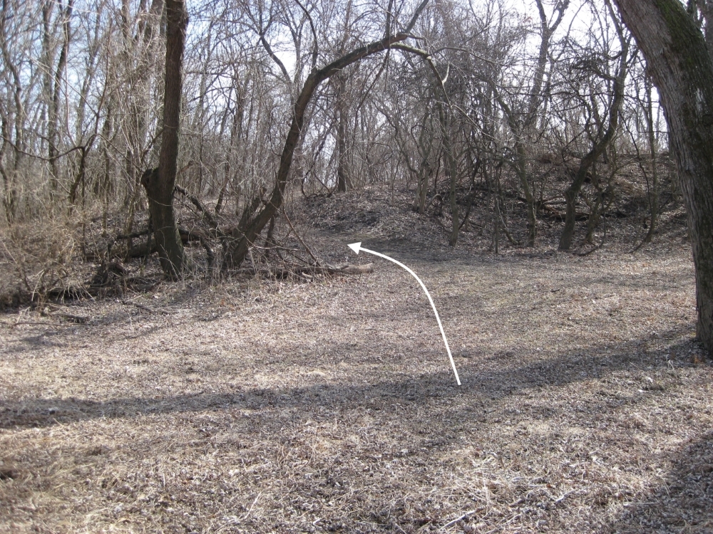
Walk toward an opening in the trees about 150 yards to the east. Depending on the time of the year and how overgrown the meadow is, you should be able to see a small sign about 150 yards in the distance. Head for that sign. When you reach the wooded area, you should notice the low-profile marker indicating the Byram’s Ford Historic District is in the National Register of Historic Places. Continue walking east down the path that goes into the woods. This is a stretch of the Historic Byram’s Ford Road on the west side of the Big Blue River. Follow the old roadbed down to the Big Blue River.
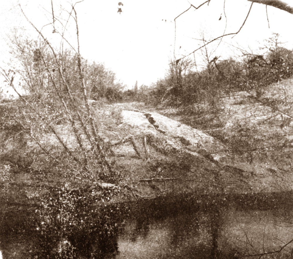
You are standing near the place where Price’s wagons would have exited the ford. An analysis of the Blue River at this point in 2007 indicated the river’s physical characteristics have not changed much since 1864. Looking at the river today, you can see how much of a challenge it was to get one wagon, let alone hundreds of wagons, down and then up these steep riverbanks. There was a rocky bottom here in the riverbed. And the river’s flow was typically low at this point in the late summer and early fall. But the steep riverbanks seem to make this location less than optimal as a place to ford the river. And surely you remember the steep descent down the Byram’s Ford Road on the other side of the river.
Because of the steep riverbanks, Byram’s Ford crossed the Big Blue River at an angle, from the north to the south. Look across to the far side of the river a 100 feet or so down river to see if you can find the area where the riverbank is not as steep. You should be able to make out the historical markers on the east side of the river. The Byram’s Ford Road entered the ford near that location and exited the river near where you are standing.

Byram’s Ford Historic District marker.
 |
 |
 |
