Stop 4-Staging the Attacks
[Waypoint 39.019126 -94.518471]
This tour stop is located on the high ground about 200 yards up the Historic Byram’s Ford Road. It’s a hike of moderate difficulty over uneven ground. You will experience a change in elevation of about 50 feet from the previous tour stop. Walk up the Historic Byram’s Ford Road until you reach what appears to be the end of the road.
When you get to the top of the hill, stop near a barrier of sorts blocking the road. You should see another of the Historic Byram’s Ford Road signs on your right. You are standing near the boundary of the Big Blue Battlefield Park. You can continue further east past this point. Past the “gate” is vacant land owned by Kansas City, Missouri, that extends to the railroad located about one block to the east. The railroad was not pre-sent in 1864.
E 58th Street used to extend to this point, and in this location generally followed the route of the Historic Byram's Ford Road. Just east of the railroad tracks and on the south side of the road was the farmhouse of John Cox. The structure no longer exists but was in this location at the time of the battle.
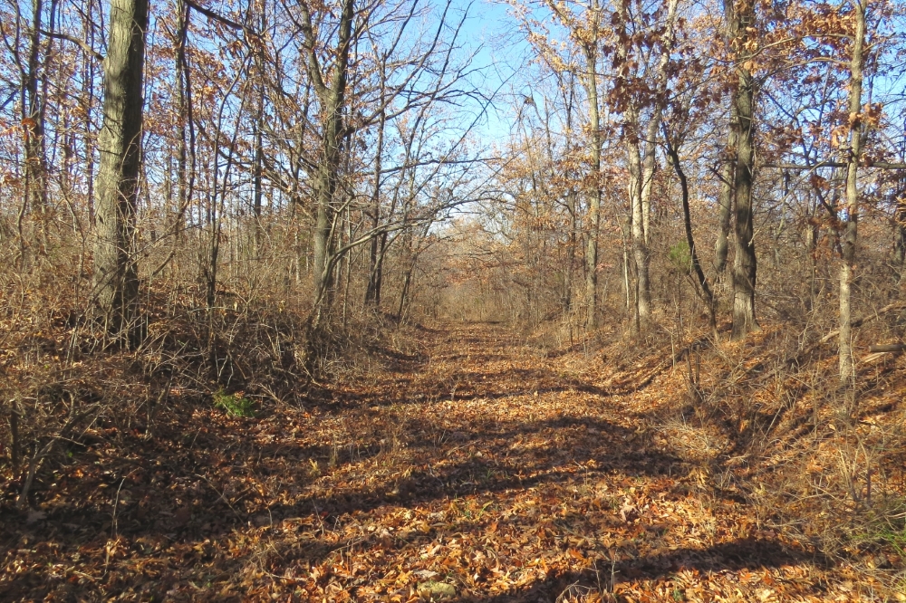
Now turn around and look to the west. Unfortunately, you won’t be able to see what the attacking forces saw back in 1864. At some point in the future, we hope to create a viewshed so you can see more of the terrain to the west. There were a lot fewer trees back in 1864. Most of the area around you was tall grass prairie and some farmed fields. There was a substantial growth of trees along both sides of the Big Blue River and along the creeks flowing into the river. But any troops positioned on this hill certainly could have seen across the river to the high ground west of the river about a mile west of where you are standing. This location west of the river was at the same elevation compared to where you are currently standing.
As the attacking forces advanced toward Byram’s Ford, they moved through this area. If you think about the lime-stone bluffs you saw at the earlier tour stop, it becomes clear the Federals had to funnel through here to get past those bluffs on their way down to the river.
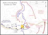
On Saturday, October 22, Maj. Gen. Sterling Price gave the job of getting control of Byram’s Ford to Brig. Gen. Jo Shelby. Shelby sent his Iron Brigade, now commanded by Brig. Gen. M. Jeff Thompson, to attack Byram’s Ford. Dismounted cavalry from the Iron Brigade moved past this location on their way down to the ford.
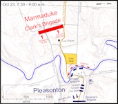
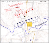
On Sunday, October 23, Maj. Gen. Alfred Pleasonton sent the 1st Brigade commanded by Col. John F. Philips to “take charge of this entire brigade and go down there and put those people out.” He ordered Colonel Winslow to take operational command of the attack and send the 4th Brigade to attack on the right.
 |
 |
 |
 |
Click on thumbnail to load high resolution version of map.
