Stop 2-Big Blue Battlefield, East
[Waypoint 39.018029, -94.520117]
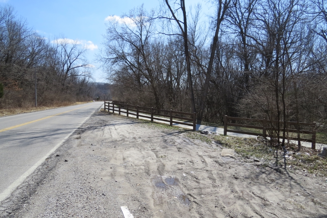
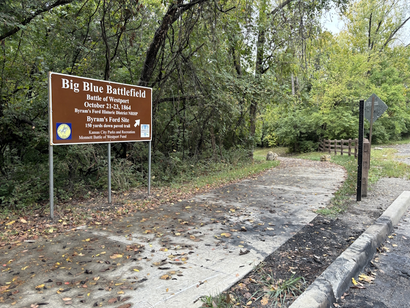
This tour stop is located about 0.20 miles north of the intersection of Hardesty Avenue and E 63rd Street in Kansas City, Missouri. Look for this sign where the Blue River Trail enters the woods on the west side of Hardesty Avenue. The shoulder of Hardesty Avenue near this point is plenty wide enough for you to park safely. Please be careful. Hardesty Avenue can be busy.
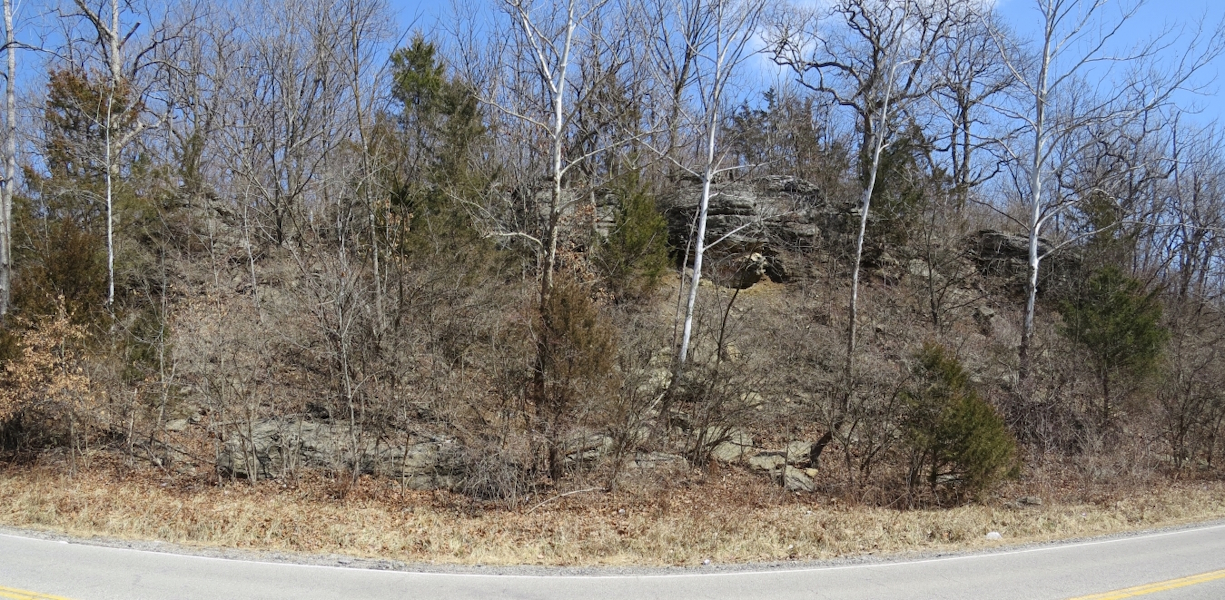
This stop is a jumping off point for walking to other tour stops on the east side of the Blue River. Please keep in mind that soon you will be walking over the Historic Byram’s Ford Road. But before you head for the next tour stop, take a moment to look at the limestone bluffs just across the road from where you are parked. This will give you some idea of the tactical challenges faced by the troops during their attacks on Byram’s Ford. It was difficult to move down from the high ground, particularly while under fire. Many had to advance down the Byram’s Ford Road, exposing them to enemy fire.
In total the tour on the east side of the river is about a 1.3-mile hike of moderate difficulty over uneven ground, although about half a mile follows the concrete pavement of the Blue River Trail. You will experience a total change in elevation of about 320 feet (uphill and downhill combined), although not all at once.
 |
 |
 |
