Stop 6-Byram’s Ford Road, East
[Waypoint 39.018696, -94.520619]
From the Dee’s Battalion Ravine position, head west on the Dee’s Battalion Trail out to Hardesty Avenue. What great exercise! Cross the road and walk south along the west side of the road to the concrete Blue River Trail near where you parked. Follow the trail down the hill as it passes through the trees. Just before you reach the three historical markers, you should see another Historic Byram’s Ford Road sign.
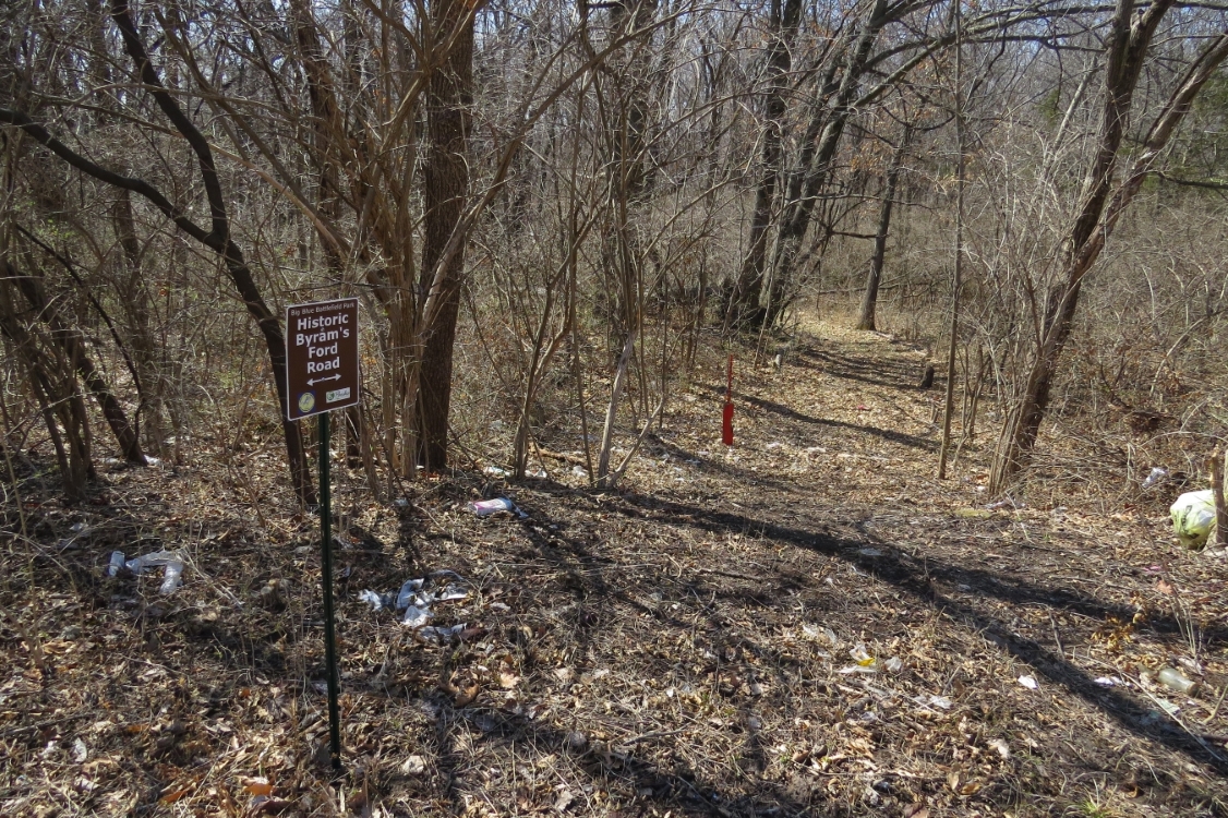
For the more adventurous, you could follow the old Historic Byram’s Ford Road down to the ford. This goes down the hill through the woods, but the path is uneven and somewhat overgrown. The historic road crosses Hardesty Avenue at a southwesterly angle. Look for another of the Historic Byram’s Ford Road signs on the west side of the road. Although, this sign was stolen by someone, and I haven't been able to replace it yet.
Please note this is one of the areas on the tour where the trails are probably quite overgrown with brush.
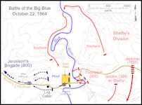
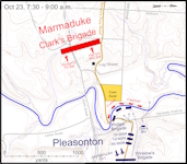
If you walk down the Historic Byram’s Ford Road, you are following the same route taken by the troops approaching Byram’s Ford during the attacks on October 22 and 23. The river bottomland looks the way it looked in 1864, although many of the trees had been cut down to block access to Byram’s Ford.
 |
 |
 |
 |
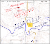 |
Click on thumbnail to load high resolution version of map.
