Tour: Independence Historical Markers
| Waypoints | Google Earth Place (kmz) |
|
|
 |
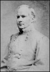 There are six historical markers marking events that took place in Independence, Missouri on October 21 and 22, 1864. Confederate Major General Sterling Price's Army of Missouri was threatening Kansas City as part of his raid into Missouri.
 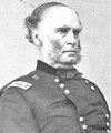 Union Major General Samuel R. Curtis' Army of the Border was waiting in defensive positions to the east of Kansas City.
The fighting in and around Independence was part of a running series of battles that began on October 19th in the outskirts of Lexington, Missouri (Second Battle of Lexington) and climaxed on October 23rd with the Battle of Westport.
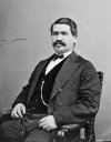
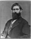 Union Major General James G. Blunt had deployed Colonel Thomas Moonlight's Second Cavalry Brigade along the bluffs on the west side of the Little Blue River across the Independence-Lexington Road with orders to delay the Confederate approach west.
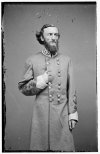
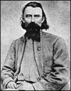 Confederate Major General John S. Marmaduke and Brigadier General Joseph O. Shelby attacked across the Little Blue River on the morning of October 21st (Battle of Little Blue River). Blunt reinforced Moonlight with Colonel Charles R. Jennison's First Cavalry Brigade and Colonel James H. Ford's Fourth Cavalry Brigade but the Federals were pushed back into Independence (Second Battle of Independence). By late afternoon on October 21st Blunt realized that he could no longer resist the overwhelming numbers of the Confederate forces and withdrew west of the Big Blue River.
This tour is located near Independence, Missouri 64050.
Back: List of References
Next: Engagement at the Little Blue

