Stop 13-Freeman’s Skirmish Line
[Waypoint 39.016706, -94.521727]
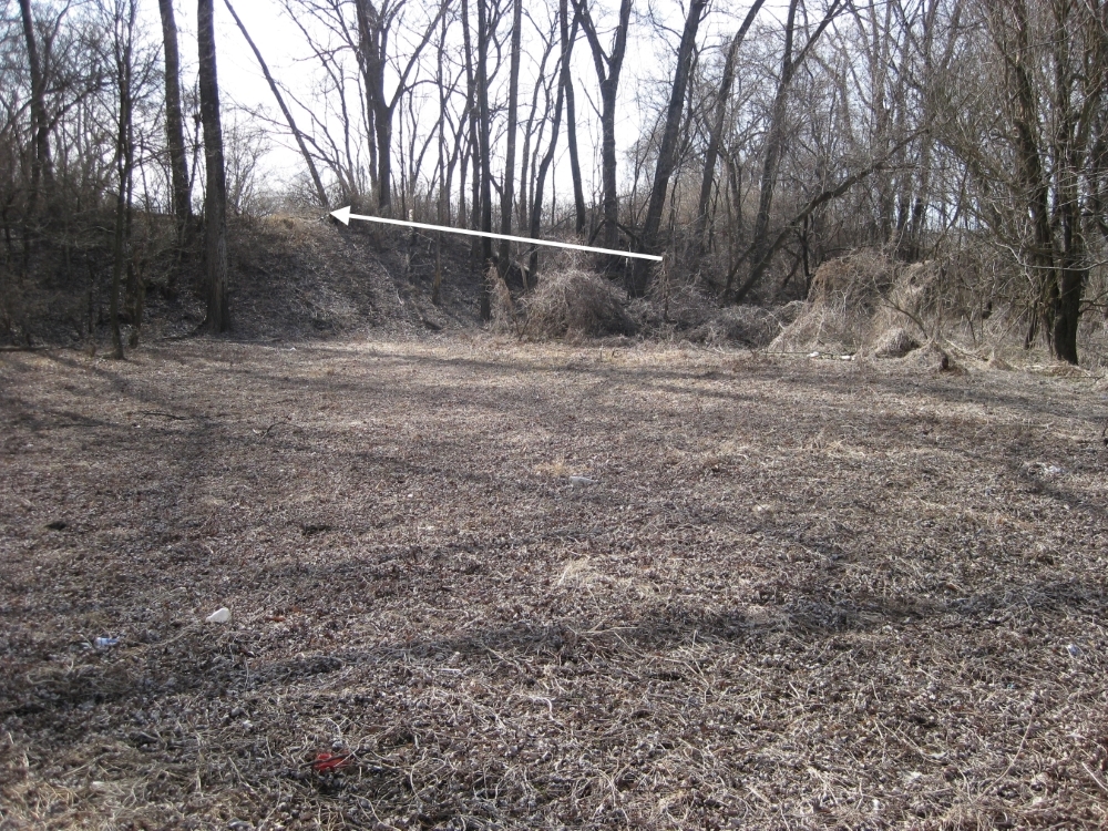
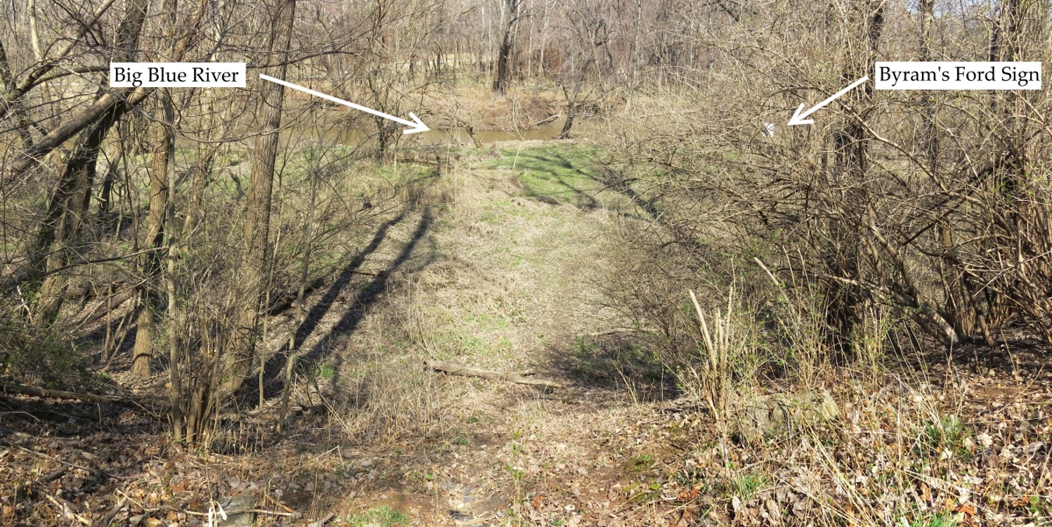
Leave Byram’s Ford and walk back up the Byram’s Ford Road. Just before you leave the trees and enter the open field, turn right (north) and follow the tree line for 50 feet or so until you find an open place where you can look back down to the river.
You are standing where a Confederate skirmisher from Free-man’s Brigade shivered in the pre-dawn hour on Sunday morning, October 23. In this location you are about 20 feet higher than the level of the river. It’s a strong position. If you look carefully, you should be able to see across the river to the spot where the Byram’s Ford Road approached the river. All along the west side of the river, Maj. Gen. John S. Marmaduke deployed skirmishers as his first line of defense against the Federal advance down the Byram’s Ford Road. The Confederates took advantage of the abatis constructed by the Federals in the days leading up to the first fight for Byram’s Ford on October 22.
 |
 |
 |
 |
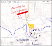
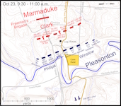
Click on thumbnail to load high resolution version of map.
