Print this page

Stop 8W—Philips’s Ravine

[Waypoint 39.015248, -94.527273]

This tour stop marks the location near where Col. John F. Philips advanced to just prior to launching the Federal assault on Bloody Hill. This also is the location of Marker 16 from the original Battle of Westport Auto Tour.
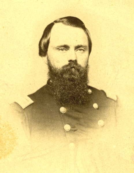
John F. Philips
Col. John F. Philips (Wilson’s Creek National Battlefield WICR 31832).
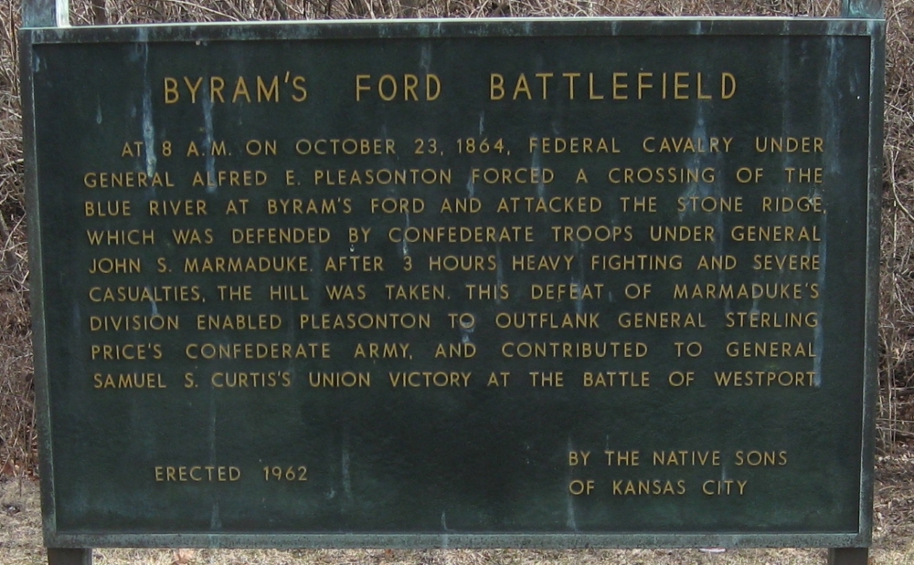
Historical Marker 16 from Battle of Westport Auto Tour
Historical Marker 16 from Battle of Westport Auto Tour.
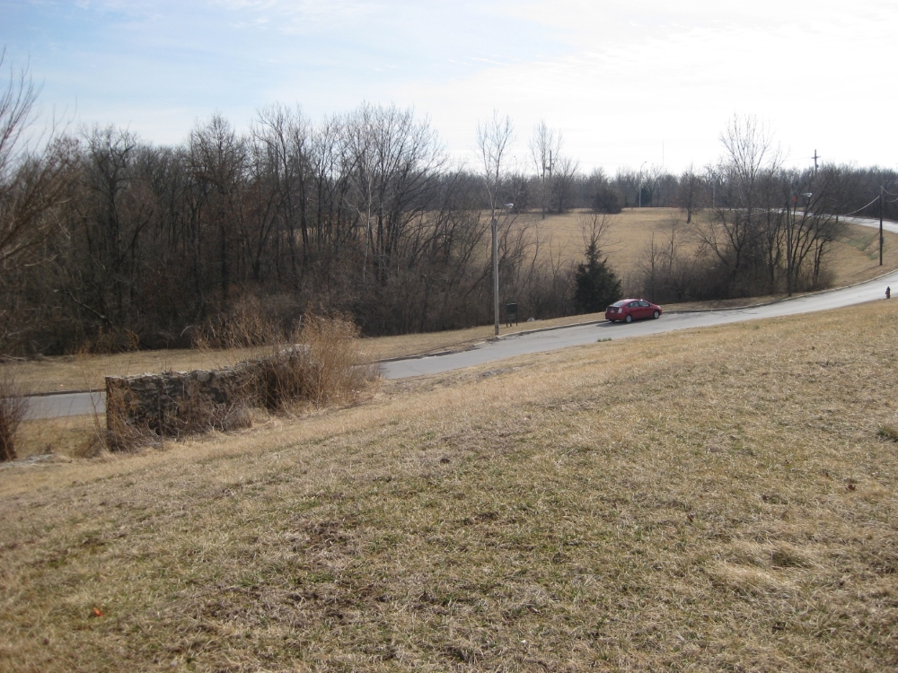
View of Philips's Ravine
Looking from rock ledge across Manchester Trafficway toward Philips’s Ravine.
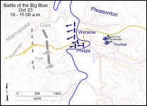
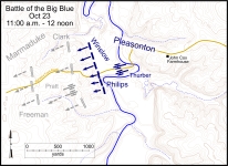
Battlefield map showing general locations of combatants
Battlefield map showing general locations of combatants between 10:00 and 11:00 a.m. Click on thumbnail to load high resolution version of map.
Battlefield map showing general locations of combatants between 11:00 a.m. and 12 noon. Click on thumbnail to load high resolution version of map.


The Muse South African