Print this page

Stop 12W—Marmaduke's Defense Line, Center

[Waypoint 39.016000, -94.530750]

Follow the Historic Byram’s Ford Road west about 80 yards until you see another 4x4 post painted blue. This post is Marker #10 from the original Big Blue Battlefield Walking Tour. This post marks the approximate location of the center of Marmaduke’s Defense Line. You should also see a Marmaduke's Defense Line Trail Sign.

John S. Marmaduke
Maj. Gen. John S. Marmaduke (Library of Congress).
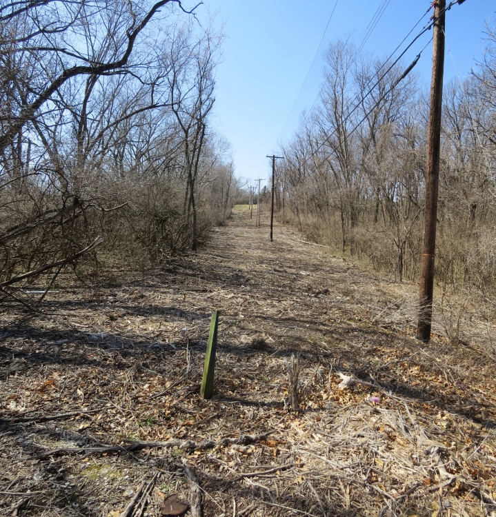
View from tour stop looking west down Historic Byram’s Ford Road
View from tour stop looking west down Historic Byram’s Ford Road (marker post 10 from original Big Blue Battlefield Walking Tour in foreground).
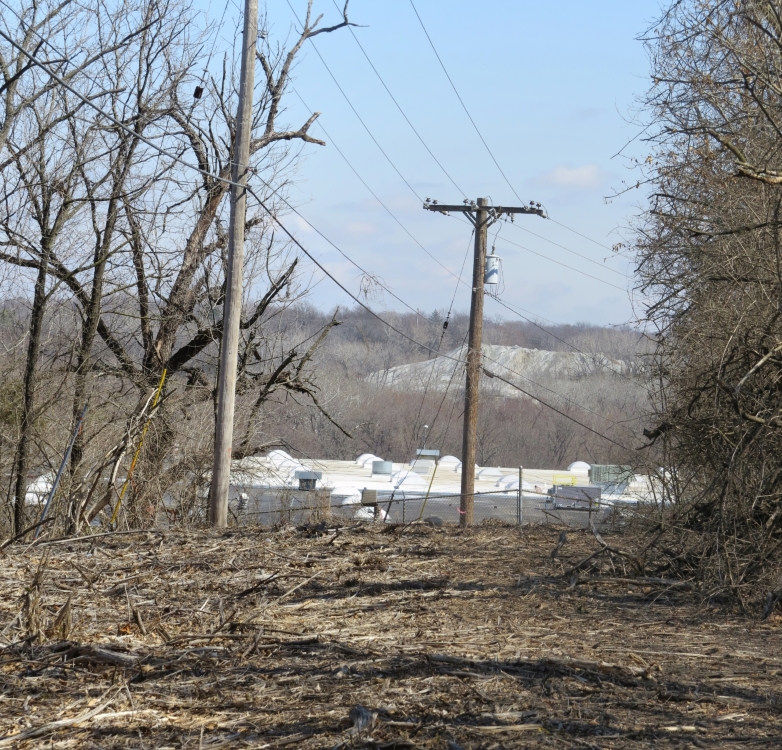
Looking east from Marmaduke’s Defense Line, Center tour stop
Looking east from Marmaduke’s Defense Line, Center tour stop.
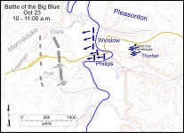
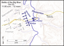
Battlefield map showing general locations of combatants
Battlefield map showing general locations of combatants between 10:00 and 11:00 a.m. Click on thumbnail to load high resolution version of map.
Battlefield map showing general locations of combatants between 11:00 a.m. and 12 noon. Click on thumbnail to load high resolution version of map.


The Muse South African