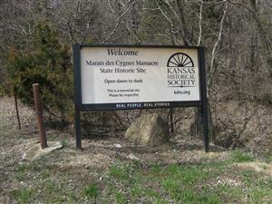
 Directions: The Marais des Cygnes Massacre State Historic Site [ Waypoint = N38 16.784 W94 36.948 ] is located about four miles northeast of Trading Post, Kansas.
Description: 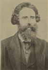 James Montgomery had emigrated to Mound City, Kansas in 1854. By 1857, Montgomery was a free-state leader and had organized a company of men called the Self-Protective Company. Montgomery was in command of this company and they would provide protection to free-state settlers in the area. Montgomery used the threat of force by the Self-Protective Company to order pro-slavery settlers out of the territory.
 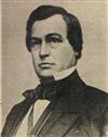 By the end of that year, the Self-Protective Company was causing so much mayhem, that Kansas Territorial Governor James W. Denver ordered a detachment of U.S. Troops down to Linn County in order to maintain the peace.
Trading Post, Kansas Territory was located along the Military Road that went from Fort Leavenworth to Fort Scott. Because it was so close to the Missouri border, the inhabitants were primarily pro-slavery in their thinking. Missourians would often use Trading Post as a staging point for raids against the free state settlers in Kansas. In the spring of 1858, Montgomery led his Self-Protective Company in a raid against Trading Post.
Charles A. Hamelton was a pro-slavery man who had been born in Georgia but had emigrated to the territory in 1855 to support to pro-slavery advocates in the Kansas Territory. He was one of the pro-slavery men ordered out of Kansas during the Trading Post raid. He decided to raise his own company of Missourians to exact revenge against Montgomery. While he was raising his company, he has been quoted as urging pro-slavery men “...to come out of the territory at once, as we are coming up there to kill snakes, and will treat all we find there as snakes.”
Hamelton found 30 men who he took across the border into Trading Post on May 19, 1858. On their way back to Missouri, they rounded up eleven free-state settlers. Many of these captured men had been neighbors of Hamelton. The Missourians led their prisoners into a ravine not far from the Missouri border. Hamelton gave the order to fire and kill the prisoners. Hamelton and his men dismounted to finish off the fallen free state settlers, but six of them feigned death and would survive. Hamelton and his men quickly fled for safety into Missouri. The violence in southeastern Kansas and southwestern Missouri would escalate as Montgomery sought retribution against Hamelton.
John Greenleaf Whitter wrote a poem on the massacre, "Le Marais du Cygne," which appeared in the September 1858 Atlantic Monthly.
Charles A. Hamelton was never captured. He would later serve as a Colonel in Robert E. Lee's Army of Northern Virginia during the American Civil War. One of his men, Charles Matlock, was arrested, but later escaped and was never re-captured. Another one of Hamelton's men, William Griffith, was arrested in 1863. He was tried in Mound City, Kansas on an indictment against Charles A. Hamelton et al. for murder in the first degree. A jury found him guilty, and Judge Solon O. Thacher sentenced William Griffith to hang on October 30, 1863. The sentence was carried out.
There are 12 interpretive signs that tell the story of the Marais des Cygnes Massacre as you drive through the State Historic Site. Although the signs have information on both sides, they are designed to be read one side at a time. In other words, you should read only the side you are facing in the direction you are heading. Then continue to the next sign. After reaching the ravine in which the actual massacre took place, you will turn around and then read the other sides of the signs as you walk back up the trail.
|
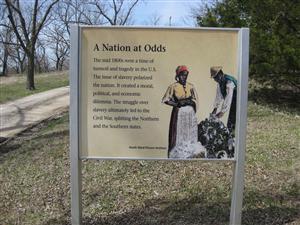
1st Interpretive Sign [ Waypoint = N38 16.788 W94 37.073 ] A Nation At Odds The mid 1800s were a time of turmoil and tragedy in the U.S. The issue of slavery polarized the nation. It created a moral, political, and economic dilemma. The struggle over slavery ultimately led to the Civil War, splitting the Northern and Southern states. |
 |
|
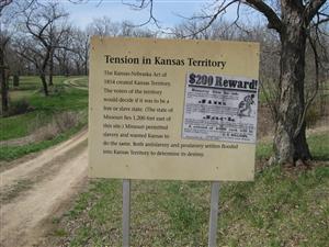
2nd Interpretive Sign [ Waypoint = N38 16.839 W94 37.109 ] Tension in Kansas Territory The Kansas-Nebraska of 1854 created Kansas Territory. The voters of the territory would decide if it was to be a free or slave state.(The state of Missouri lies 1200 feet east of this site.) Missouri permitted slavery and wanted Kansas to do the same. Both antislavery and proslavery settlers flooded into Kansas Territory to determine its destiny. |
 |
|
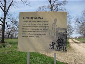
3rd Interpretive Sign [ Waypoint = N38 16.844 W94 37.142 ] Bleeding Kansas The fight over slavery in Kansas Territory erupted into violence. At least 50 people lost their lives during the territorial period. Many more were injured or lost property. National attention was focused on the violent confrontations, giving rise to the name of “Bleeding Kansas.” |
 |
|
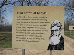
4th Interpretive Sign [ Waypoint = N38 16.875 W94 37.194 ] John Brown of Kansas Abolitionist John Brown emerged as a national figure while in Kansas Territory. He was willing to use violence to end the shame of slavery. Brown led a group of antislavery men on a raid, which resulted in the killing of five proslavery men. Known as the Pottawatomie Massacre, this event led to further guerrilla warfare. John Brown continued to attack proslavery farms in Missouri, taking property and freeing slaves through the Underground Railroad. |
 |
|
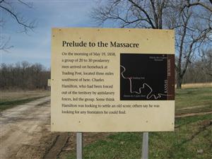
5th Interpretive Sign [ Waypoint = N38 16.881 W94 37.200 ] Prelude to the Massacre On the morning of May 19, 1858, a group of 20-30 proslavery men arrived on horseback at Trading Post, located three miles southwest of here. Charles Hamilton, who had been forced out of the territory by antislavery forces, led the group. Some think Hamilton was looking to settle an old score, others say he was looking for any freestaters he could find. |
 |
|
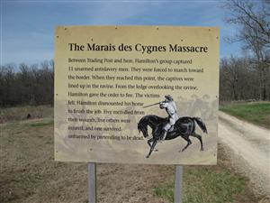
6th Interpretive Sign [ Waypoint = N38 16.892 W94 37.219 ] The Marais des Cygnes Massacre Between Trading Post and here, Hamilton's group captured 11 unarmed antislavery men. They were forced to march toward the border. When they reached this point, the captives were lined up in the ravine. Hamilton gave the order to fire. The victims fell. Hamilton dismounted his horse to finish the job. Five men died from their wounds, five others were injured, and one survived unharmed by pretending to be dead. |
 |
|
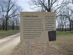
7th Interpretive Sign [ Waypoint = N38 16.892 W94 37.219 ] A Wife's Pursuit Sarah Read learned that her husband, the Reverend B. L. Read, had been captured. She bravely followed the trail of the men nearly two miles when she heard gunshots. She soon encountered some of Hamilton's men and demanded to know what they did with her husband. Eventually, she discovered the victims in the ravine. Her wounded husband implored her to get help. She reurned with the wives of two other victims to administer aid. “Presently I heard my wife calling. I called to her; she came to us. I requested her to go immediately and get some help as quick as possible.” – Reverend Read, The Republican Lawrence, June 3, 1858 |
 |
|
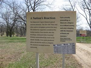
8th Interpretive Sign [ Waypoint = N38 16.881 W94 37.200 ] A Nation's Reaction The Marais des Cygnes Massacre gained national attention. The New York Times and other eastern newspapers printed the story. The antislavery supporters considered the victims martyrs. Four months after the shootings, noted poet John Greenleaf Whittier memorialized the event in the Atlantic Monthly. Even some proslavery editors decried the event as a disgrace. The massacre increased tensions nationwide. “Such cowardly proceedings as these are a disgrace to a civilized country, and only in keeping with the characters of fiends and monsters.” – Kansas Weekly Herald, Leavenworth Proslavery Newspaper |
 |
|
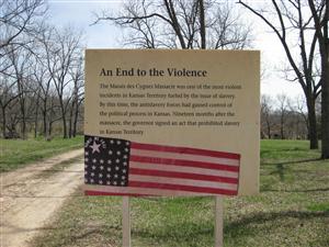
9th Interpretive Sign [ Waypoint = N38 16.875 W94 37.194 ] An End to the Violence The Marais des Cygnes Massacre was one of the most violent incidents in Kansas Territory fueled by the issue of slavery. By this time, the antislavery forces had gained control of the political process in Kansas. Nineteen months after the massacre, the governor signed an act that prohibited slavery in Kansas Territory. |
 |
|
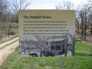
10th Interpretive Sign [ Waypoint = N38 16.844 W94 37.142 ] The Hadsall House A few weeks after the massacre, John Brown arrived at this location and constructed a fortified house that he and a few other men occupied through the summer. One of Brown's friends, Charles C. Hadsall, bought the property and later built this stone house near the Brown house, which no longer stands. |
 |
|
11th Interpretive Sign [ Waypoint = N38 16.839 W94 37.109 ] Kansas Statehood Kansas joined the United State on January 21, 1861 as a free state. Kansas became the 34th state in the Union. The State motto became, “To the stars through difficulty.” |
 |
|
12th Interpretive Sign [ Waypoint = N38 16.788 W94 37.073 ] Thank you for visiting the Marais des Cygnes Massacre State Historic Site. This site is preserved by the Kansas Historical Society and the people of Linn County. |
 |
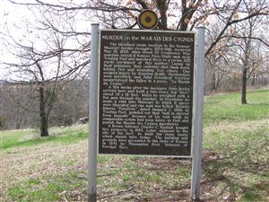
The bloodiest single incident in the Kansas-Missouri border struggles, 1854-1861, occurred May 19, 1858, when about 30 Proslavery Missourians seized 11 Kansas Free-State men near Trading Post and marched them to a ravine 225 yards northwest of this marker. Lining up their prisoners, they callously shot them down, killing five and wounding five others. One escaped injury by feigning death. Northerners were horrified, and John Greenleaf Whittier immortalized the fallen in a poem, 'Le Marais du Cygne.'
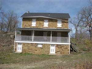
A Brown follower , Charles C. Hadsall, bought this property in 1858. Later, adjacent to the site of the fort, he built the stone house which stands here today. The building and grounds were presented to the State of Kansas in 1941 by Pleasanton Post, Veterans of Foreign Wars.
Located a bit down the hill is the aforementioned Hadsall House [ Waypoint = N38 16.826 W94 37.150 ] built in 1858 by Charles C. Hadsall.