[Waypoint 39.028361 -94.602974]
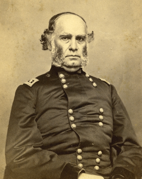
This tour stop takes you to the point where Maj. Gen. Samuel R. Curtis opened fire with artillery on the Confederate left flank. In walking to the tour stop, you will follow the same general route used by George Thoman to lead the Federals around the Confederate position.
 |
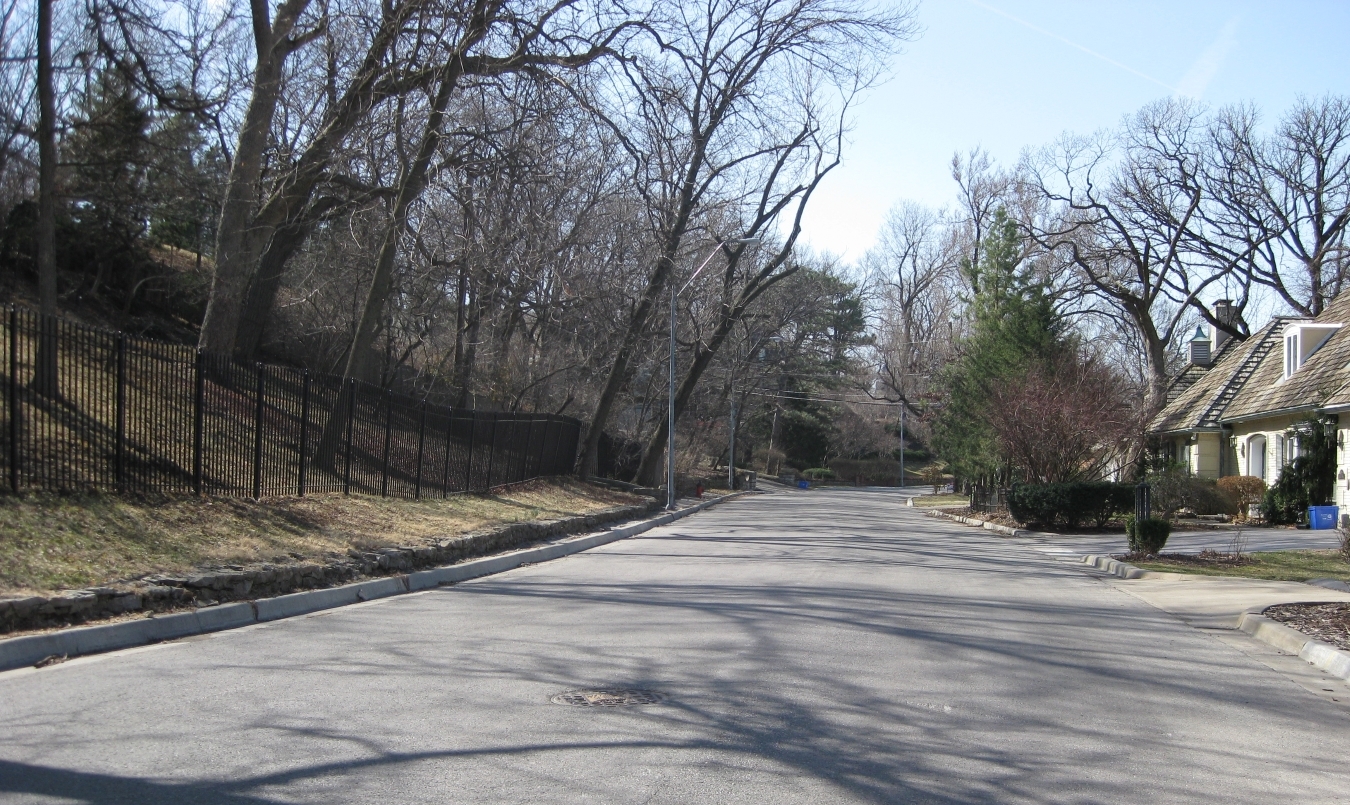
| View looking down Sunset Drive—note the steep slope to the left. |
 |
| Maj. Gen. Samuel R. Curtis (Wilson’s Creek National Battlefield WICR 31443). |
 |
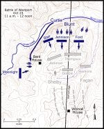
| Map showing the Battle of Westport October 23, 11 a.m. to 12 noon. Click on thumbnail to load high resolution version of map. |
 |
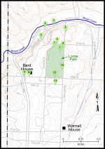
| Map showing the Battle of Westport walking tour stops. Click on thumbnail to load high resolution version of map. |


