[Waypoint 39.036207 -94.597992]
This tour stop takes you back to the Byram’s Ford Road and picks up the Federal attack as the 1st Brigade, commanded by Col. John F. Philips, advanced down to the Big Blue River.
 |
 |
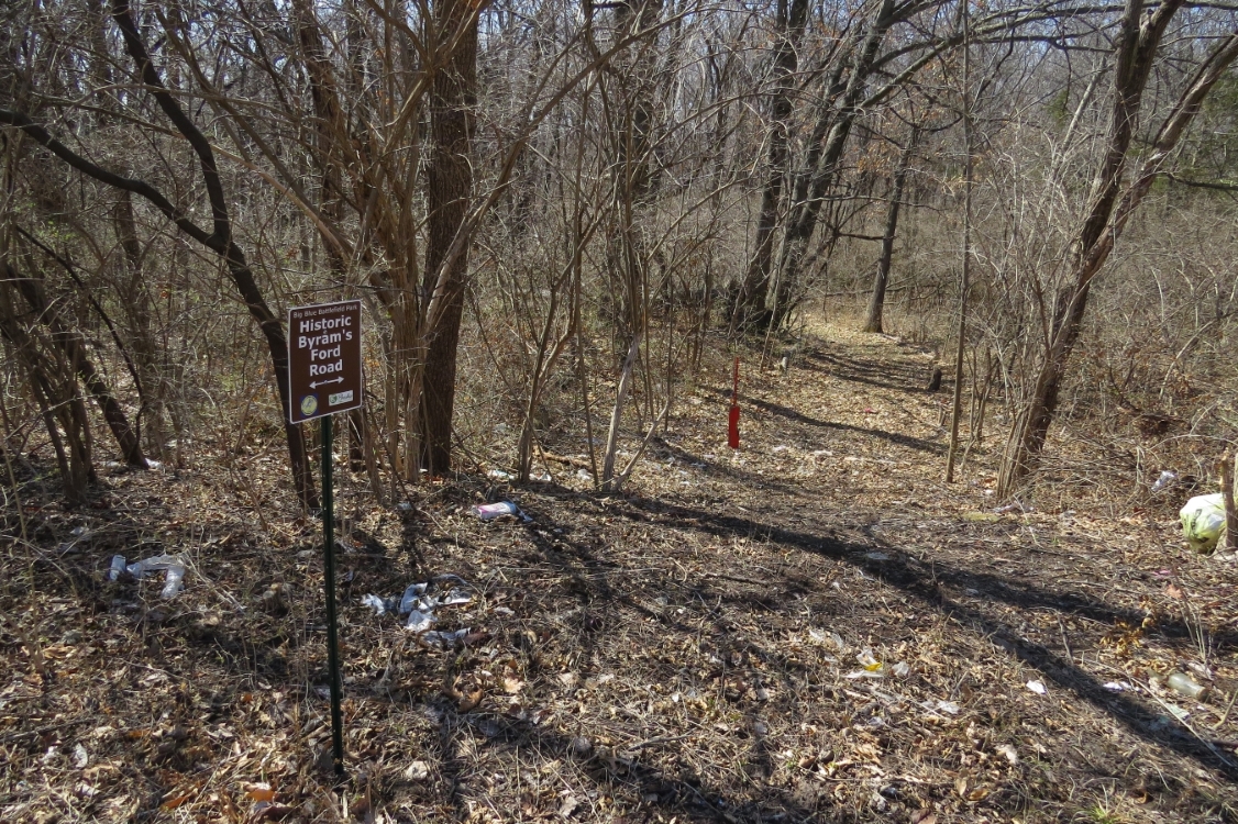
| Start of Historic Byram's Ford Road on west side of Hardesty Avenue. |
 |
 |
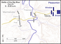
| Battlefield map showing general locations of combatants between 6:00 and 8:00 a.m. Click on thumbnail to load high resolution version of map. |
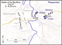
Battlefield map showing general locations of combatants between 8:00 and 8:30 a.m. Click on thumbnail to load high resolution version of map. |
http://www.thecivilwarmuse.com/uploads/images/tours/bbb-walk/bbb-walk-hbfr-west-side-hardesty-20180321-7752-rwt-edit-w.jpg


