[Waypoint 39.038679 -94.597251]
This tour stop is in the general location where a local farmer, George Thoman, described a route that would allow Maj. Gen. Samuel R. Curtis to flank the Confederate position.
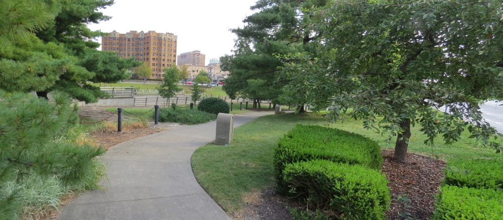 |
| View walking to tour stop along south side of Brush Creek. |
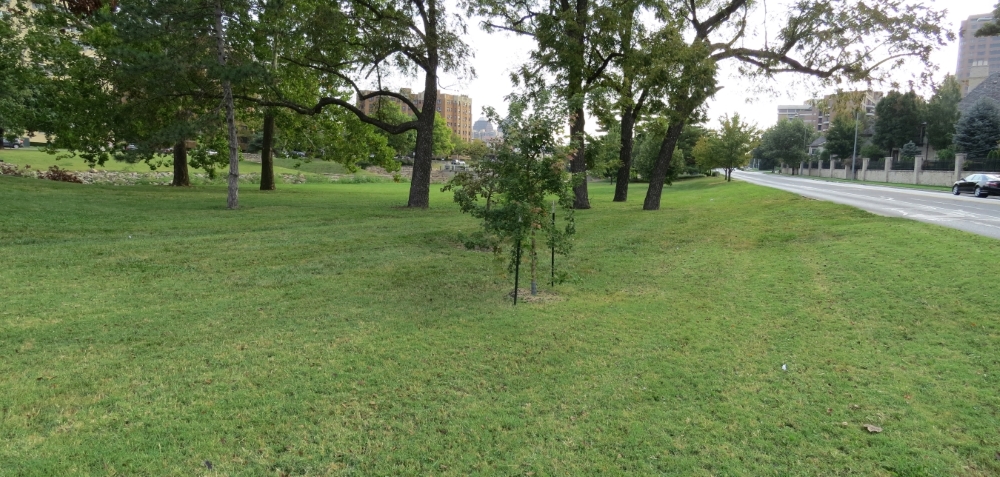 |
| View from tour stop looking east along south side of Brush Creek. |
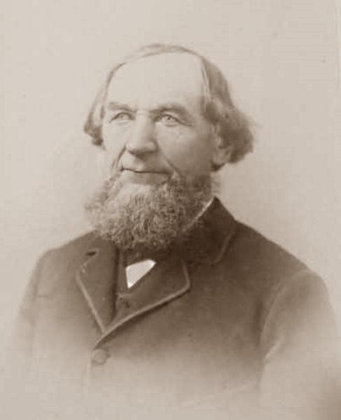 |
| George Thoman (Battle of Westport Museum). |
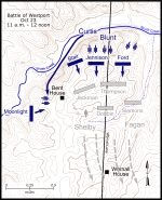 |
| Map showing the Battle of Westport October 23, 11 a.m. to 12 noon. Click on thumbnail to load high resolution version of map. |
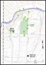 |
| Map showing the Battle of Westport walking tour stops. Click on thumbnail to load high resolution version of map. |


