[Waypoint 39.029857 -94.592471]
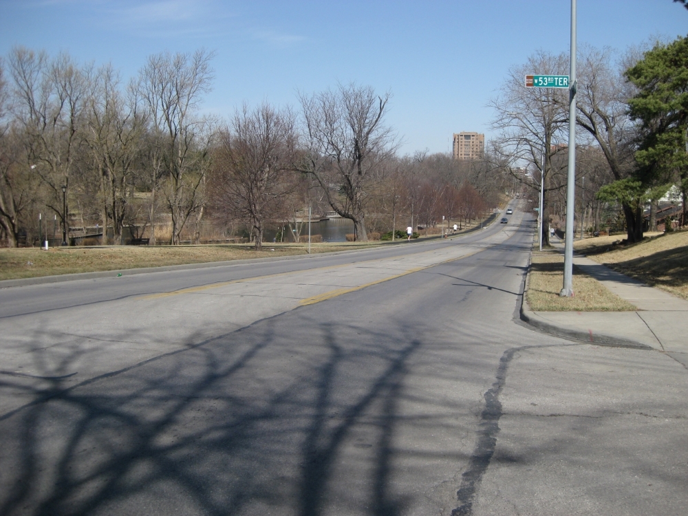
This tour stop is near the where McLain’s Battery was attacked by Col. J. H. McGehee’s Arkansas Cavalry Regiment.
 |
| View looking north up Wornall Road toward position of McLain’s Battery. |
 |
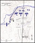
| Map showing the Battle of Westport October 23, 11 a.m. to 12 noon. Click on thumbnail to load high resolution version of map. |
 |
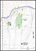
| Map showing the Battle of Westport walking tour stops. Click on thumbnail to load high resolution version of map. |


