Tour Stop #11
| Waypoint | N 39º 01.102' W 94º 31.809' |
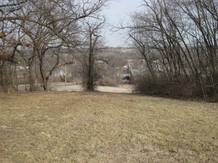
 Directions to Stop #11: You will be walking along the wooded crest of the hill where the left side of Marmaduke's defensive line was deployed. It will very tough going for there the path is very overgrown. Walk north following the path for about 300 yards. It should open up into a park-like setting about half way there. When you reach E 59th Street look for the historical marker on the south side of the street. This tour stop is located in Kansas City, Missouri 64132.
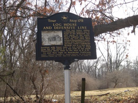
 Description: The 11th stop on the tour places you at The Battle of Westport Historical Marker Number 17B. Back in 1864, there was a second log cabin located near here in which Marmaduke had placed sharpshooters. This still on Marmaduke's final line of defense which extended north across 59th Street.
 Directions to Stop #11: You will be walking along the wooded crest of the hill where the left side of Marmaduke's defensive line was deployed. It will very tough going for there the path is very overgrown. Walk north following the path for about 300 yards. It should open up into a park-like setting about half way there. When you reach E 59th Street look for the historical marker on the south side of the street. This tour stop is located in Kansas City, Missouri 64132.
 Description: The 11th stop on the tour places you at The Battle of Westport Historical Marker Number 17B. Back in 1864, there was a second log cabin located near here in which Marmaduke had placed sharpshooters. This still on Marmaduke's final line of defense which extended north across 59th Street.